Research Projects
-
![Media analysis Barcelona superblocks]()
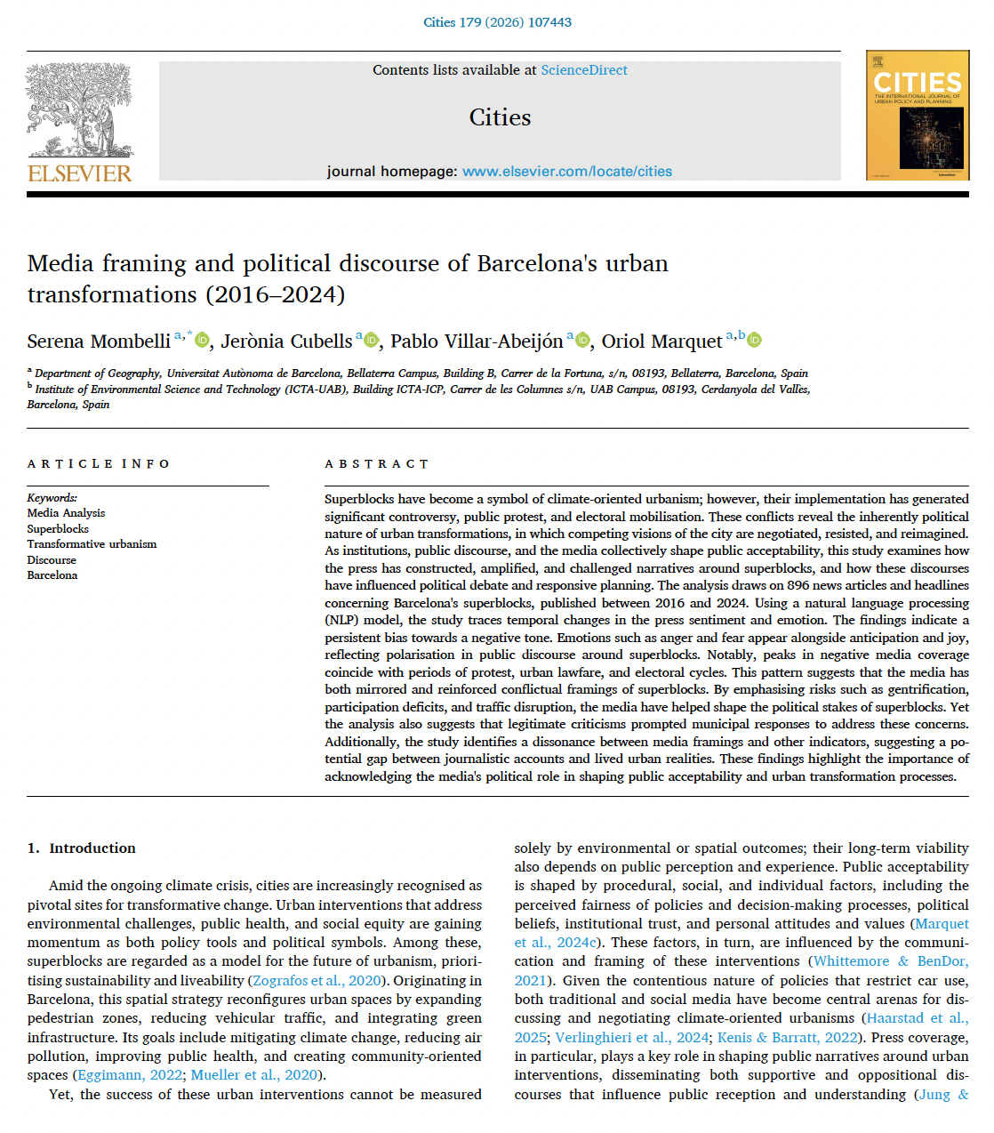
MEDIA ANALYSIS: Media framing and political discourse of Barcelona's urban transformations (2016–2024)
Why do some climate-friendly urban projects become symbols of progress while others provoke protest and political conflict?
Our recent study, published in Cities, examines Barcelona’s superblocks and shows how media framing shapes the understanding, contestation, and legitimisation of these policies. By tracing nearly a decade of public discourse, the research reveals how media narratives influence political debate, public acceptability, and municipal responses.
More broadly, the study highlights that urban transformations are not only about streets, traffic, or public space; they are also about narratives, perceptions, and political struggle.
-
![climate shelters]()
CLIMATE RESILIENCE: Are Barcelona climate shelters accessible to heat-vulnerable populations?
Barcelona has over 360 summer shelters in schools, libraries and parks, which play a vital role in protecting vulnerable groups such as the elderly and children from extreme heat. But do those most at risk have adequate access during heat waves?
Our research, published in Cities, shows that more than 90% of vulnerable residents can reach a shelter within a 10-minute walk. While all districts ensure at least 75% coverage, accessibility varies and in August, closures reduce coverage to 75%. As Barcelona aims to provide all residents with 5-minute access to shelters by 2030, more climate adaptation infrastructure is needed to better meet community needs.
-
![paper social cohesion]()
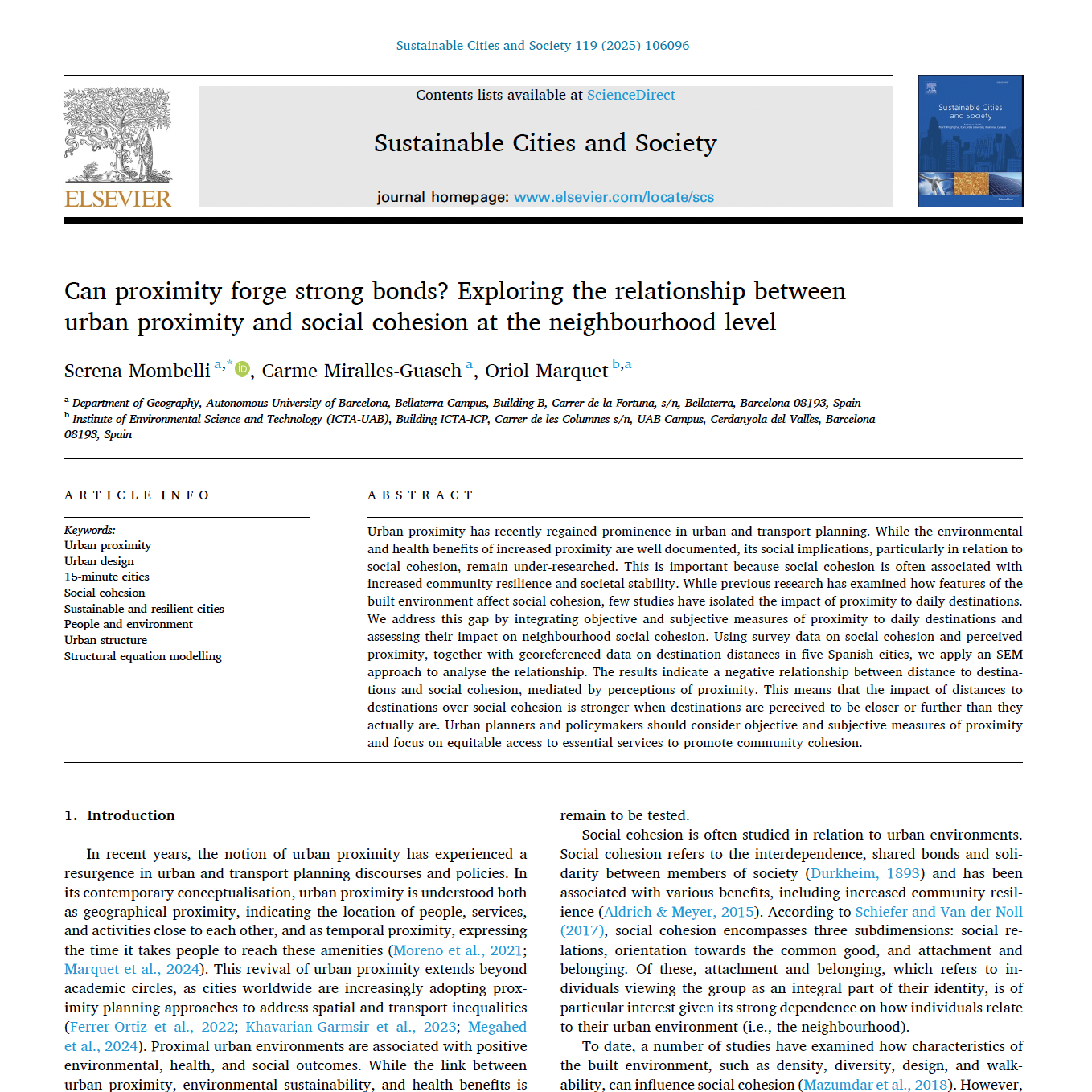
SOCIAL COHESION: Have you ever wondered if living in walkable neighbourhoods—where schools, parks, and everyday amenities are just a short walk away—helps build stronger community bonds?
Our research published in Sustainable Cities and Society reveals a surprising insight: it's not just actual distance, but perceived proximity that strengthens community ties. Using data from five Spanish cities, we found that when people feel closer to their destinations, they engage more with their surroundings and neighbours, fostering social cohesion.
The takeaway? Urban planners need to consider perception, not just physical distance, to design truly inclusive and accessible spaces.
-
![report 15-minutes city]()
MAPPING PROXIMITY: How do Spanish cities measure up to the 15-minute city model?
The '15 minute city' concept has become a key tool for fostering active mobility and influencing urban policy. Compact, walkable cities promote healthy lifestyles, reduce car use and benefit the environment. They can also encourage social interaction.
We analysed proximity in the districts of Barcelona, Valencia, Palma de Mallorca and Granada. The report presents the results in the form of scorecards, assessing the accessibility of basic destinations within 15 minutes and comparing accessibility between districts. This method highlights areas with strong indicators and areas with opportunities for improvement through proximity-based policies.
-
![map 15-minute city]()
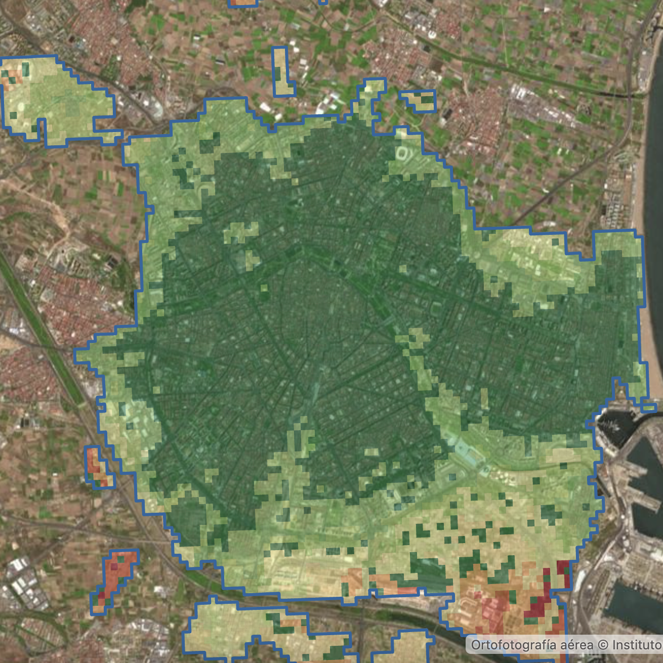
MAPPING PROXIMITY: The 15-minute city in Spanish cities
We mapped the 15-minute city concept in Madrid, Barcelona, Valencia, Palma de Mallorca and Granada, measuring proximity based on walking time to basic services using pedestrian-friendly spaces such as pavements and crosswalks.
In Barcelona, 66% of the city has basic services within a 15-minute walk, with the exception of industrial and mountainous areas where access takes more than 20 minutes. In Granada, 75% of the metropolitan area is within this proximity. In Madrid, 53% of the metropolitan area meets this criterion, with higher accessibility along the north-south axes. Palma has 43.5% of its territory with services within 15 minutes, with lower accessibility in the suburbs. Valencia has 80% of its territory within 15 minutes. The results have been presented through maps and an interactive viewer.